Our Engagement Story: Vogel State Park 11-3-16
After we'd packed up the Camry on a Wednesday morning and were on the road headed to Vogel State Park, Gadget casually asked me, "What do you think this trip is for?". Glancing down at our hands intertwined over the middle console of the car, my ring finger might have twitched a little as the brief thought ran through my mind that maybe this was the trip I've been fantasizing about for years. Quickly dismissing that idea, I smiled and said, "To relax and have some time to ourselves, and enjoy nature", as that's the purpose for any vacation we take.
We rushed getting to the park to get our favorite walk-in campsite, Site Q. It's up a steep hill and pretty isolated from other campers, being at the end of the park and footsteps away from the Chattahoochee National Forest. A trail leads into the national forest and to a pretty stream encapsulated by large boulders, which makes for a beautiful picnic or napping spot, and is an added bonus to the beauty at Q.
 |
| Wonderful view of the sun rising from our tent |
 |
| The eerie time of morning when the sun has come up, but is hiding behind the mountains |
 |
| Early morning snuggles are necessary to survive camping when it's in the 30s outside. |
 |
| The creek behind Site Q comes to life when the state of Georgia isn't in a Level 2 drought crisis. |
 |
The "creek"
One of our favorite pastimes while we are camping at Vogel is trips to Sunrise Grocery -- check 'em out! The owner, Jason, knows we frequent Blairsville and shares the same love for these mountains that Gadget & I have. On the way out of his store with a bag of boiled peanuts and a jar of blackberry jalapeno moonshine jelly in tow, he has shared with us, on more than one occasion, "secret" spots and trails in the area that blow us away. This time, he told us one of the best sunset spots in Blairsville is just a short hike on the Appalachian Trail. Sunset was approaching, so we immediately filled up some water bottles and drove up to the AT. Carefully following his instructions, we found the sunset, and it was the most beautiful I've ever seen.
|
On our second day, we decided to hike Bear Hair Gap trail, which is at Vogel and easy to get to, leading up the summit overlooking Lake Trahlyta and the state park. After a warm, delicious breakfast of a mixed bowl of yellow grits, bacon, and scrambled eggs and Trader Joe's instant coffee (----amazing stuff - the little packets come with sugar & creamer mixed in the coffee!---), we got in the car and drove to the parking lot closest to the trailhead for the 5 miles loop trail.
Here's where the madness of this day started, folks. We have accumulated 5 different hiking books at this point. Each book shows maps and gives detailed directions of each trail. There is overlap between the books -- Bear Hair Gap trail is in 3 out of the 5 trail books we have, with each author's instruction differing slightly. In our newest book that we bought the day before, the author suggests taking the loop trail in reverse, because you hike more strenuous hills, but for theoretically a shorter amount of time. Adventurous us decided to give it a shot. It's an easy trail, we told ourselves; we can handle it backwards. Good markings, well kept trail... yep, we'll be back at the campsite long before dark. Delusions, my friends.... delusions.
I can't even begin to explain the befuddlement we experienced hiking this trail backwards. The author of the book we were using to hike backwards focused more on detailing the area's ecosystem than trail directions. The tree markings made us stop and contemplate the entire freakin' universe because they were so confusing, so misleading. We'd walk past one tree with a green marking and agree that we were going the right direction....until we spot another tree with teal markings, then double striped trees. We questioned if we were on the right path, but kept going, anxiously looking for familiar landmarks we've seen on the trail in the past. At one point, I thought to myself, if only we would cross paths with another hiker, we could just ask if we're on the right trail. Moments later as we're climbing uphill, a trailrunner comes zooming around the corner and past us, down the hill quicker than we have a chance to even say 'hello', much less ask for directions.
After a while, like a mirage in the desert, we see two giant boulders that we've climbed to the top of many times. Confirmation that we're not lost, not yet. Another couple comes walking down the hill, and we chat with them to find out they were on a camping vacation from Florida, having escaped to see the seasons change. It's always delightful to see others enjoying the woods like we do.
Long story short, this is the point we get lost. Our books and the signs on the trail are conflicting. Signs on the trail give you the option to go several different ways to stay on several different trails, and it all doesn't add up. Or maybe Gadget's sense of direction was off given what he was planning to do, and my sense of direction is non-existent, and I completely rely on him to get us where we're going. We come across a trail junction for Bear Hair Gap (BHG) and Coosa Trail, which is one of the most strenuous trails in Georgia. We hike for a while on the Coosa, steep and rocky and rooty, believing we were on BHG, until we meet another hiking who re-directs us back to the BHG, where we can get back on track to finding the Lake Trahlyta overlook. By about 2:30pm, we had found the short spur trail leading to the overlook, and made it to the top to find no one else had beat us to the spot (a first).
For the first time, we could see Lake Trahlyta, and the state park where we were camping, with the Appalachian Mountains in the backdrop. The other times we've hiked this trail were much warmer, and the trees covered up the view. Having just missed peak leaf changing time, it was constantly raining leaves as they gracefully flittered to the ground, giving way to a clear view. It's pretty cool to think that the lake you see below is where we parked our car to start the hike, and we ended at this mountain with the gorgeous view. We set up hammocks and finally it was lunch time. BBQ that I had made weeks prior and saved in the freezer had been thawed and cooked that morning at breakfast, wrapped tightly in foil and plastic wrap, and put in our packs for lunch. We rested and took in the view for a while, then decided to get going. Getting off track on the Coosa had set us back an hour or so, and night hiking isn't exactly our thing. Gadget set up the GoPro on the tripod for our obligatory trail selfie, and he framed the most treasured set of photos I will ever have, until our wedding day comes, and after that, until I have photos of our children.

With the camera on the timelapse function, we posed for some pictures, as we do anytime we reach a mountain summit or waterfall. Not for one millisecond did I know what was coming.

Pulling a small black box from his pants pocket, Gadget got down on one knee and asked me to take his hand in marriage. Before he could get the last word out, I had shrieked "YES!".Turns out he called to get my dad's blessing a few weeks before when he took a Friday off work to pack for a camping trip & long hike at Dockery Lake. That Friday weeks before, Ben grabbed lunch for us and I met him at home for a few minutes to eat. Little did I know, he had already been to several jewelers from Athens to Gainesville that morning, carefully selecting the best ring. There's three significant diamonds: A small one on the left, depicting the past; a small one on the right, the "future"; and the biggest stone in the middle, the "present". I am still overwhelmingly thrilled with his choice to propose overlooking our most beloved locale, on one of the first trails we ever completed together, and to capture it all with timelapse photos.
 |
I said YES! |
Forever family.
 |
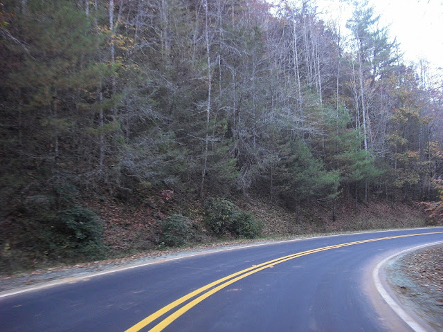
| Wolf Pen Gap - "Dude, this is not right..." |
 |
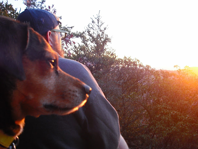
| A tired Gadget post engagement adventure |
 |
| and a tired Goose. |
 |
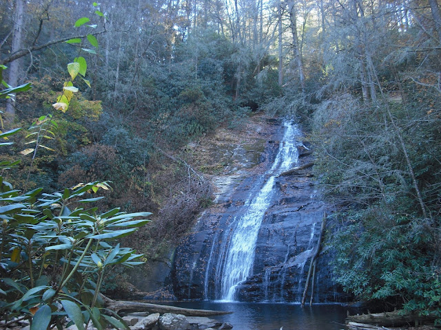
Short & easy hike to Helton Creek Falls the day after we got engaged  |
 |
| Beautiful fall colors from our campsite |
Check our our video footage from the trip here!


Comments
Post a Comment